The Rubicon Trail Foundation recommends OnX Off-Road as the best app for your mobile device to use on the trail. It's pretty common knowledge that cell phone services don't work on the trail. However, what a lot of users don't realize is your GPS works anywhere, without cell service! OnX Off-Road takes advantage of that by letting you set up a map to use off-line, which is perfect for the Rubicon! We recommend that you set this up at home before you leave, importing our waypoints on the Maps page and creating your off-line map. This page will give you the step-by-step instructions to be ready for the trail.
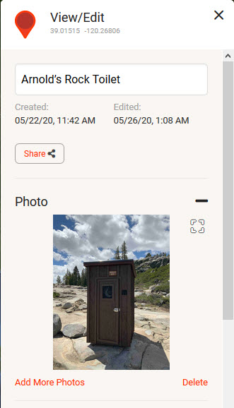
Why do this? If you have never been on the trail before, we've provided named locations on the trail, sights on the trail and toilet locations. Knowing where toilets are located on the trail...well that's an obvious benefit. However, knowing named locations on the trail? Not so obvious. While no one expects an emergency, these do happen so it's very helpful on Ham radio to be able to say you're before this place and after that place. This helps narrow down where help is required. Read more information about emergency options on our Trail Safety page.
The following instructions will hopefully you have using OnX Off-Road for your next trip to the Rubicon!
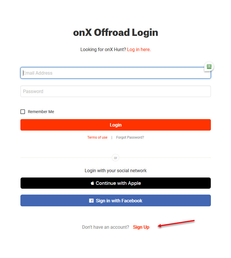
Go to the OnX Off-Road website and create an account. This is important so you can keep your mobile device and computer browser account in sync.
https://webmap.onxmaps.com/offroad-map.html
Either create an account by clicking Sign up or log in using an existing OnX Hunt account.
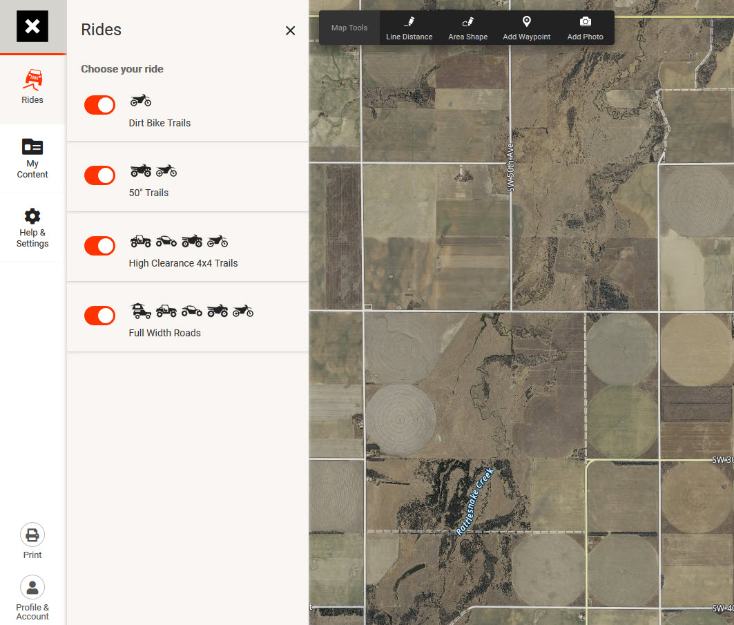
Once you are logged in, you will be at the main OnX Off-Road page.
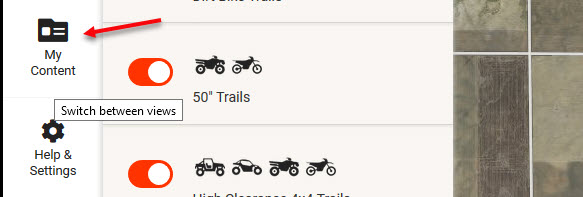
Assuming you've already been to the Rubicon Property page or the Trail Map page and have downloaded the GPX waypoints, the next step is importing the GPX files into your account. Go to the My Content portion of the website.
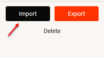
Next click on Import to pull the GPX file(s) into your account.
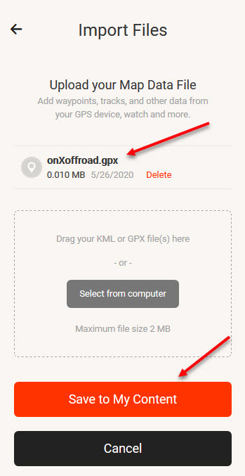
Navigate to the location of your GPX file that you have saved to your computer. It is likely in the Download folder on your C Drive (Unless you've saved it elsewhere)
![]()
Once selected, the GPX file will be shown and you are ready to click Save To My Content.
Once imported, you will find all the waypoints and tracks that you just imported.

Next, download the OnX Off-Road app from the Google Play Store or Apple App Store. Sign in to your account on your phone. After a bit of time, the waypoints that you just imported will be on your phone.

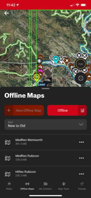
Now that you have all the waypoints, you are ready to hit the trail! However you have one more thing to do, and that is to create offline maps so that you can use them on your phone while on the Rubicon without the internet. Select New Offline Map.

The app gives you the option of Hi-Resolution, Medium Resolution, and Low-Resolution maps. It's your choice, but if you want the Hi-Resolution map you can make 3 maps to cover the whole trail. The app will automatically use the correct off-line map depending your location. It's totally seemless.
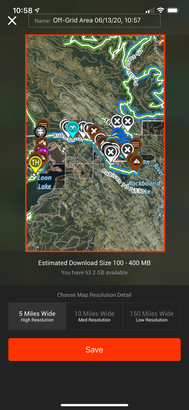
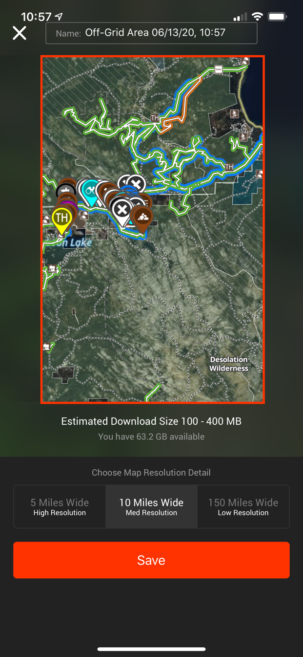
Once selected, the app will begin creating the map.
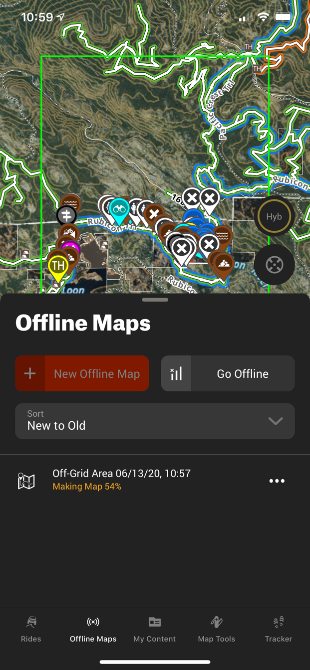
Once you've finished creating your map or maps, you can rename them anything that makes sense to you.

When you reach the trail, simply choose Offline to use your map and waypoints!
Now when you gotta go....the waypoint to that next toilet is at your disposal (no pun intended).
Happy Wheeling!